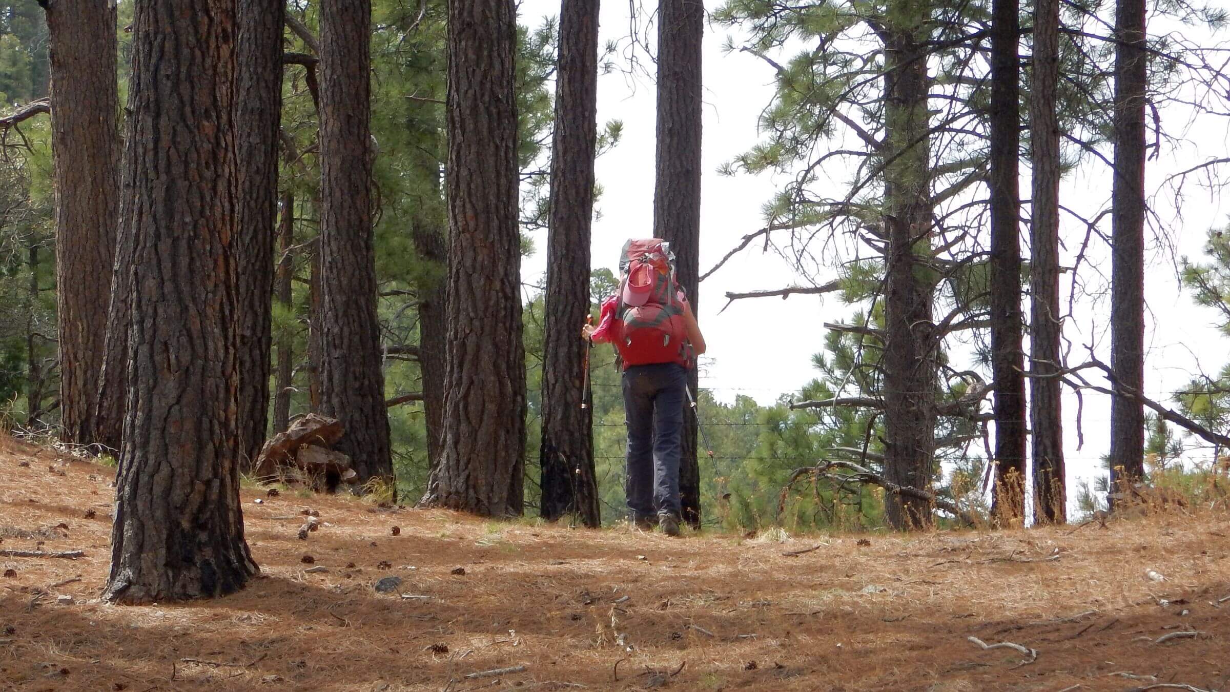
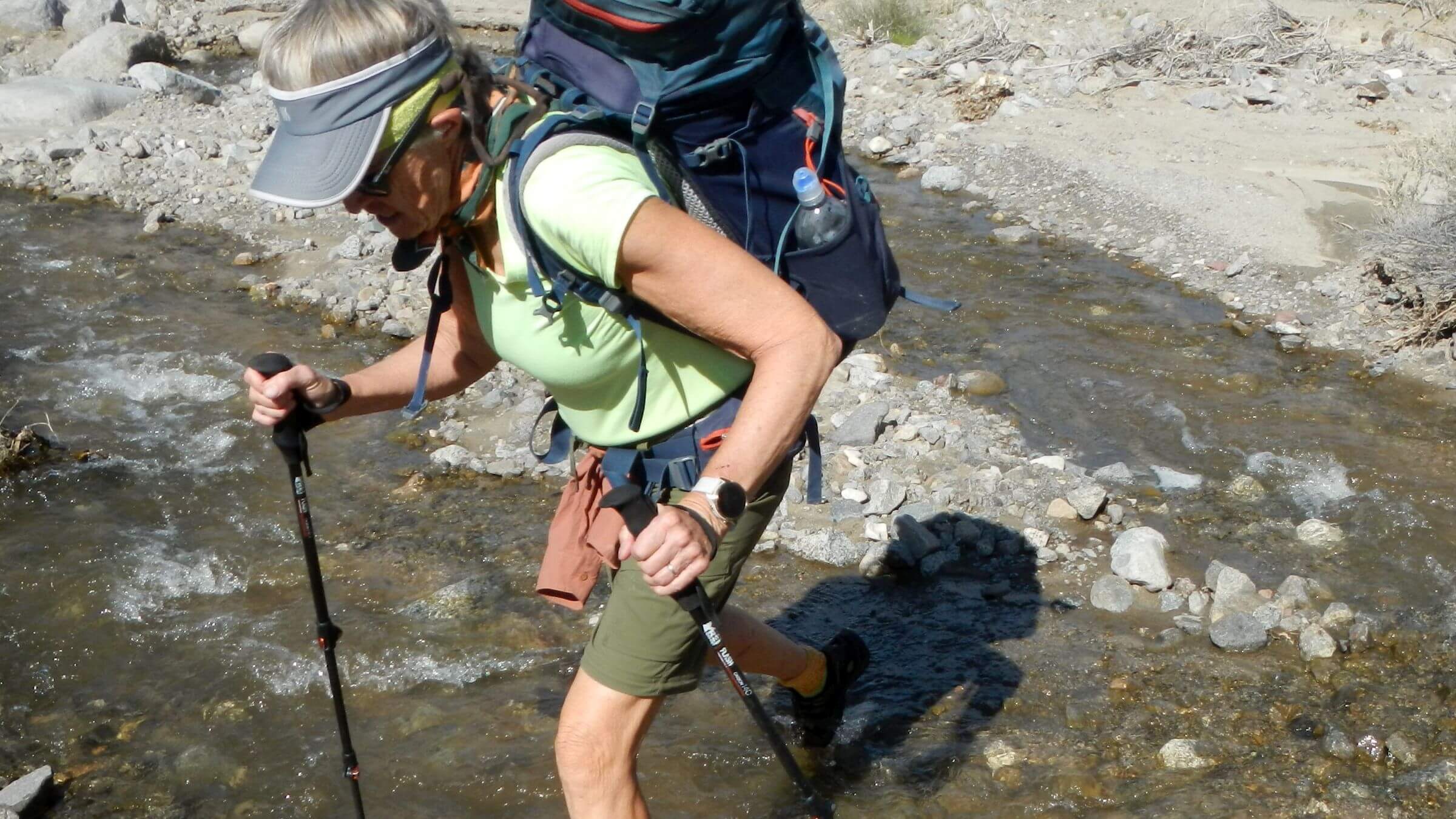
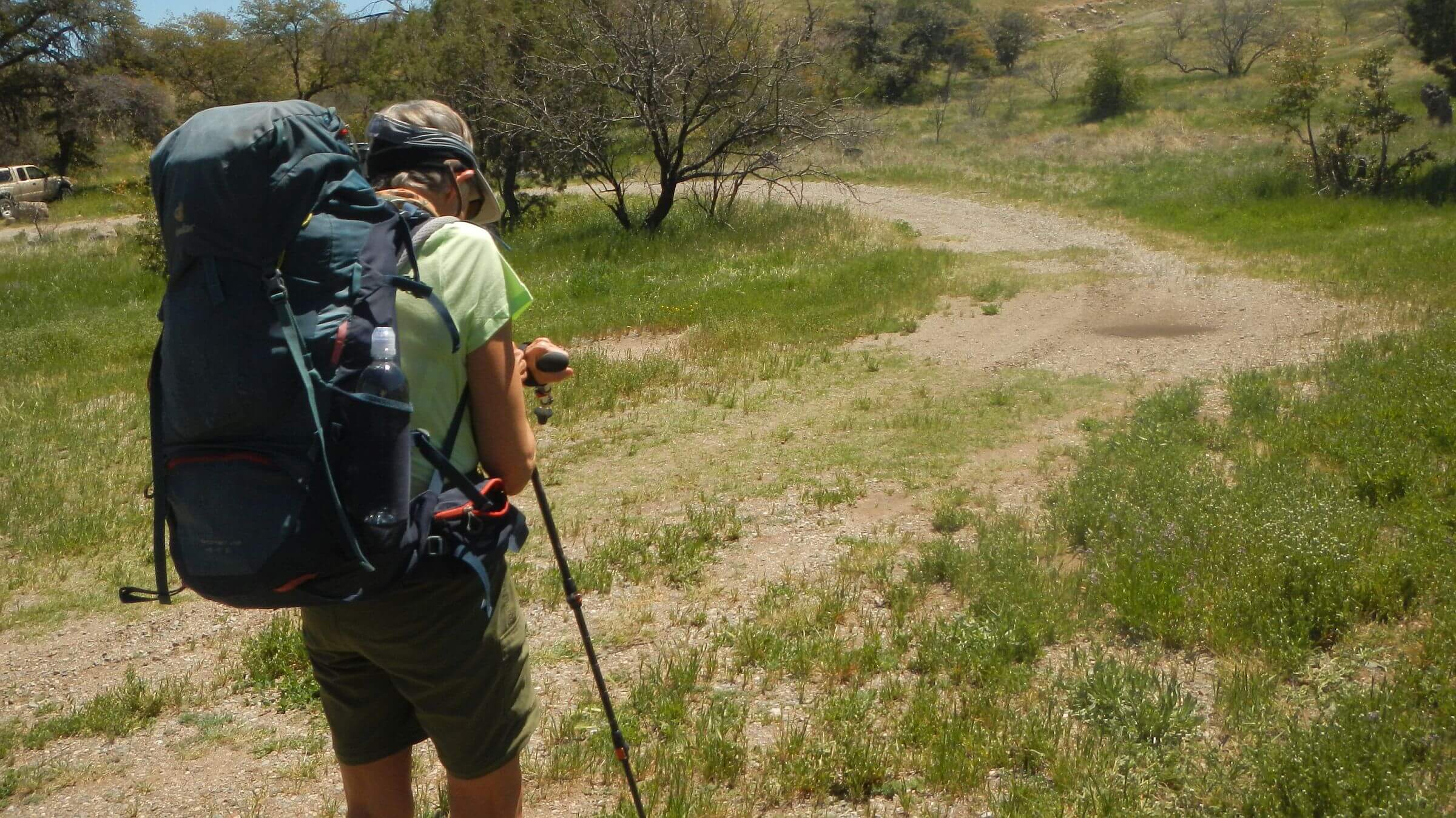
(For above slider, click photo & caption will appear below) Getting lost is one of the risks of hiking in rough areas with poorly marked trails. In 49 years of hiking together, we’ve been lost a few times.
On a 1975 Grand Canyon trip, we led some fellow hikers up the “wrong mesa.” Our hiking club had three groups visiting the Grand Canyon, planning to meet up on Horseshoe Mesa. We were hiking the Tonto Trail along Tonto Platform above the Colorado River. David, another friend, and I led most of our group up a side canyon to the wrong mesa! We had followed wild burro tracks so hiking friends labeled it “Jackass Mesa.”
In 1976, David and I hiked up West Fork Whitewater Trail in the Gila Wilderness. We missed the trail that climbed into the Mogollon Mountains and David led us straight up hill without a trail. After a steep climb we gained the top of Whitewater Baldy—highest peak in the Mogollons. We found the crest trail in a saddle below. Only David would climb over a peak looking for a trail!
Sometime in the 1980s, I went with David on a research trip to Nevada. While he did forest inventory work with Bureau of Land Management colleagues, I took a day hike into the rugged East Humbolt Mountains. I left our vehicle at a trailhead and hiked up to a ridge. I assumed I could follow the route along the ridge, down the next canyon and back out on roads to my vehicle. Instead I ended up lost, wandering ranch roads until a rancher in a pickup saw me and gave me a ride back to my vehicle.
I got back to the office when it was nearly dark. David’s BLM colleagues were just starting to organize a search for me.
We also have lost our way in fire damaged areas. In 2013, we revisited Chiricahua Wilderness, a southern Arizona mountain range with ridges above 9000 feet once cloaked in old growth forest. It was a backpacking favorite during our University of Arizona days.
We found a barren landscape denuded by the Horseshoe 2 fire of 2011 which burned almost 223,000 acres and destroyed most of the ridgetop forest. We hiked up to the crest from Turkey Creek and wandered around dazed all day circling Chiricahua Peak and trying to get our bearings from poor map, burned signs and changed landscape that did not fit our memories.
I know where I am, but where are you?
On more recent trips—now with GPS—we still lost each other!
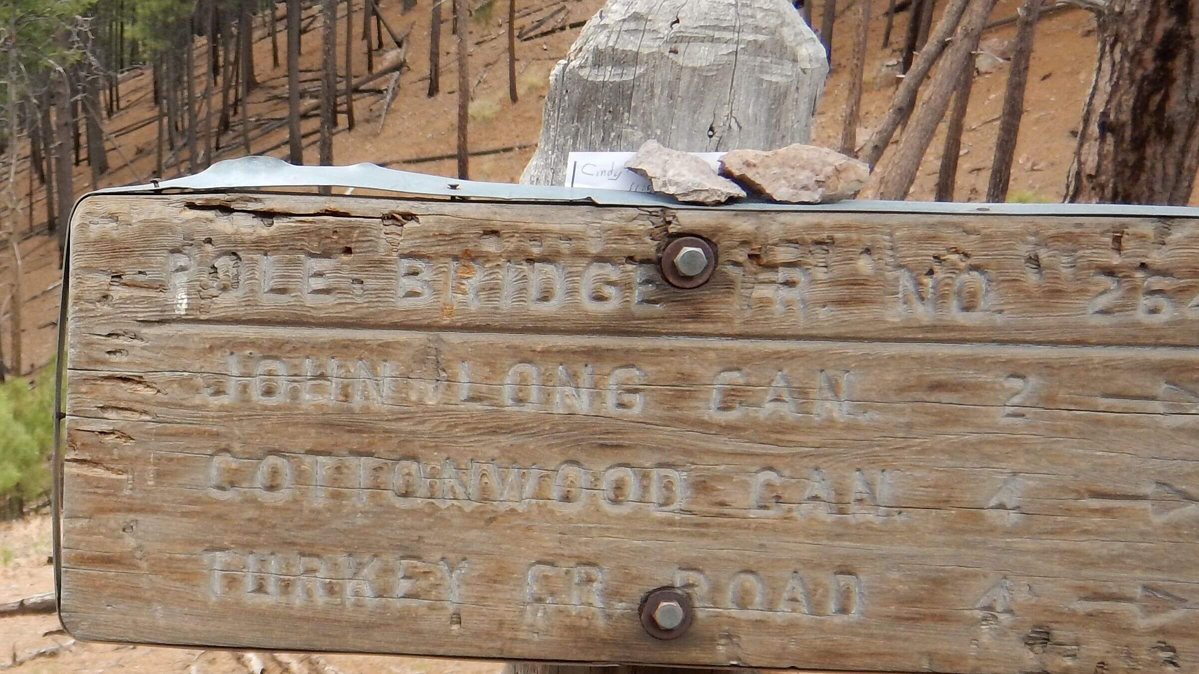
On a 2018 Chiricahuas trip, we were following steep but good trail up Pole Creek from Turkey Creek to the crest. After a rest break, I forged ahead of David into area burned by Horseshoe 2.
Distracted by downed logs I missed a switchback and followed game trail another half mile along the ridge. I came back down the ridge yelling for David, but no answer. By the time I regained the trail, David was ahead of me, but I didn’t know that.
If he was ahead, I thought, he would wait for me at the next junction. Not there. I headed back down the trail, calling for him, worried something had happened.
Meanwhile David had hiked on to Monte Vista Lookout. He left notes for me at two junction signs but I did not notice them! Eventually he came back to look for me. We lost three hours on that little adventure!
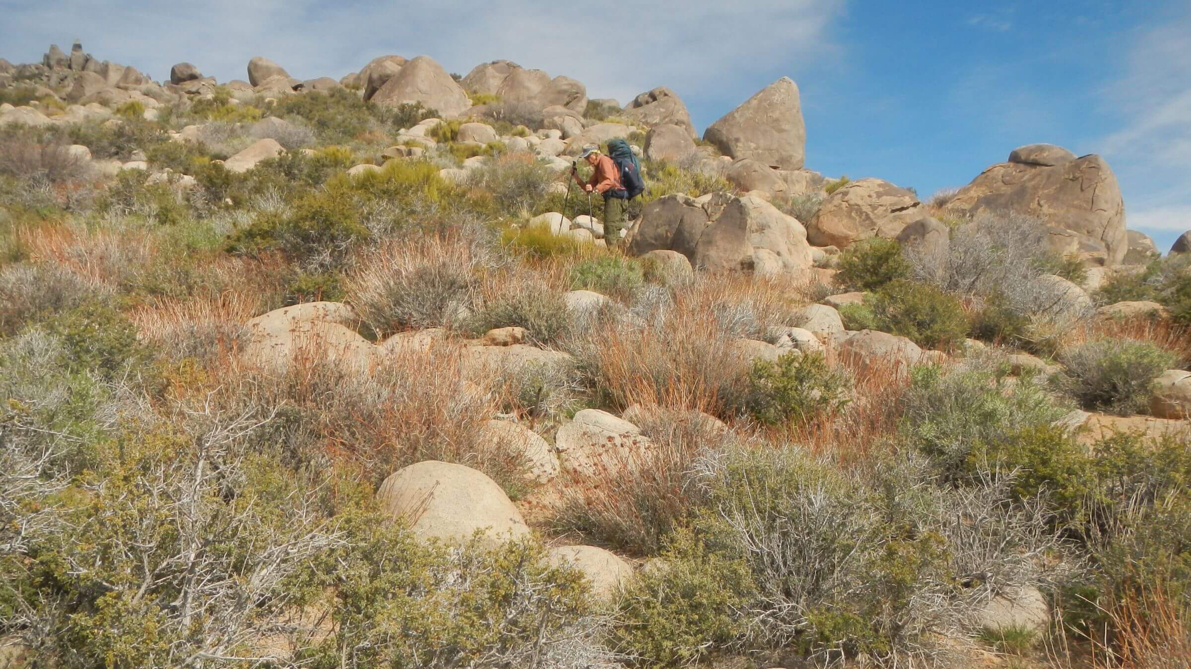
In 2022 we headed into rugged Cedar Bench Wilderness above the Verde River in Arizona, whose main users are cattle. We turned off on Oxbow Trail, an old road contouring across several drainages and climbing up to higher ridges. David stopped at Billy Creek drainage to filter water.
I went on, following cairns (stone markers) across the drainage above Billy and on around the next mesa. I came to a flat and the trail disappeared. Apparently it was a cow trail that once led to Billy Tank, a stock tank now dry. David never joined me so I started back down.
I called and blew my whistle but no reply. (Since both of us have age-related hearing loss, we recently added whistles to our hiking gear). The big valley before me looked vast and empty.
Recrossing the drainage, I found a big cairn. The marked cow trail I followed had crossed the drainage before the cairn. Further cairns marked the trail climbing on up the drainage. I saw David’s footprints in the sand and wondered why he didn’t notice the lack of mine!
After a while David apparently did notice no Cindy footprints and turned back.
About an hour into my slogging I heard a whistle. I started yelling at the top of my lungs. Eventually David appeared above me.
Getting on the same track?
A few years ago, David started using GPS (Global Positioning System) based on satellites and giving your real time position. I prefer topographic maps, but the U.S. Geological Survey no longer updates or field checks its maps so they are very outdated. New commercial map services and GPS use the old maps; no one is updating them.
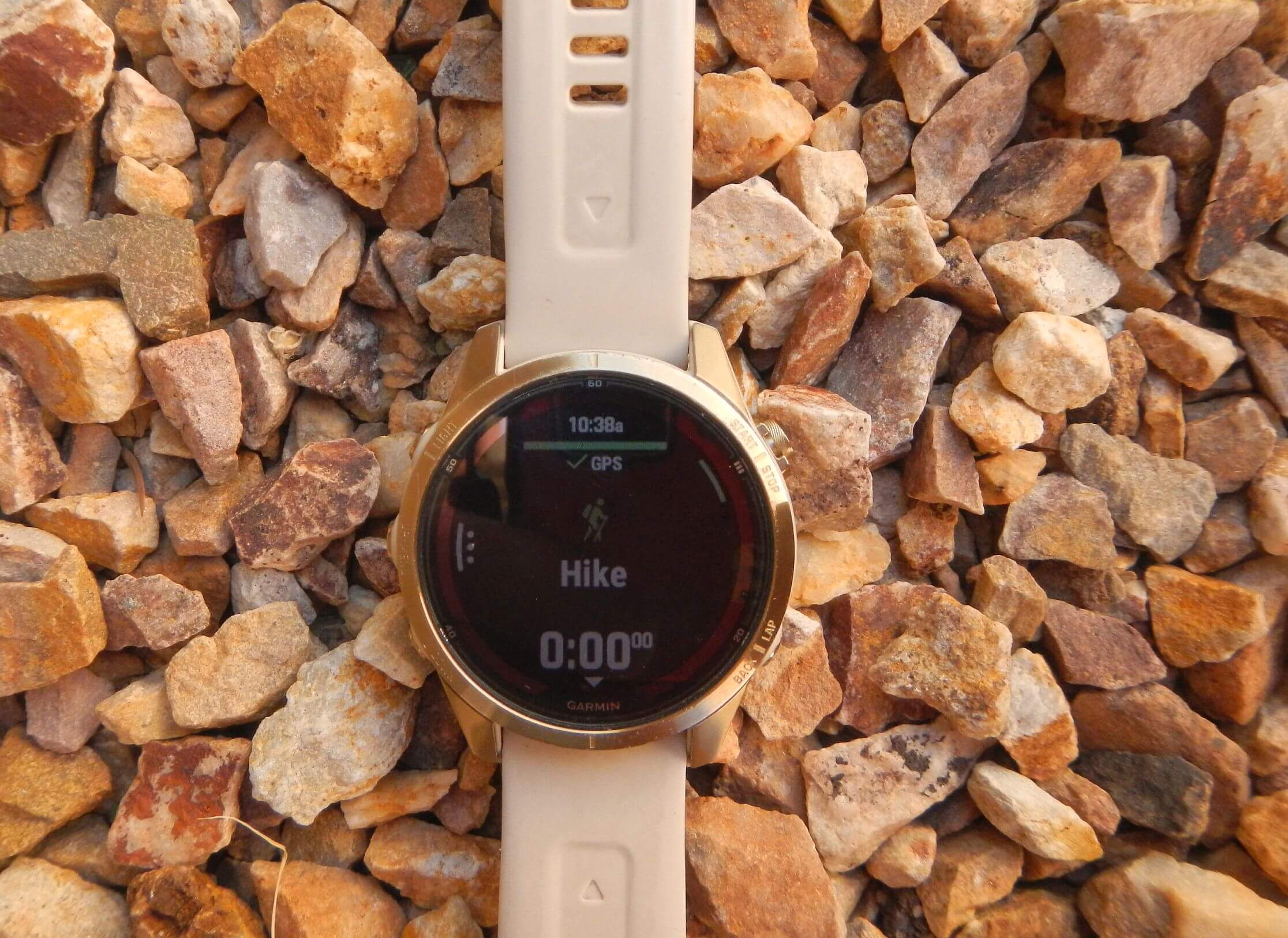
For my birthday, David bought me a high-end Garmin watch (Fenix 7) which, among a variety of health and fitness aids, also can be used for GPS. His plan was to download his GPS tracks on my watch so we would be following exact same map if separated.
Two recent trips with the Garmin watch have yielded mixed results.
Death Valley Wilderness March 2024: outsmarted by “smart watch?”
On our third day in Death Valley Wilderness, we had hiked beyond the popular Cottonwood-Marble Canyon route and planned to follow David’s GPS map route up to Hunter Mountain on poor to nonexistent trails then join roads for our return loop. I left camp before David finished packing up the tent. My Garmin watch was set on David’s track up the drainage.
I soon found pools, running water and vegetation clogging the route. I followed hiker tracks climbing up side of the canyon. They headed away from the drainage and over a ridge. My watch told me “Off Trail.” I dropped back into the drainage. Watch indicated “On Trail” in drainage.
I knew David would catch me if I was on the right route. But I saw no sign of him below. I climbed out of the drainage for a better view and started yelling. Finally, I heard David. He was standing on a rock on the other side!
When we got back together, I learned that the GPS route that David was following was an old trail (no longer existing) that made a large switchback across the canyon and then caught a ridge at the head of the canyon. I was coming up the canyon below that ridge where the old trail on GPS circled around. My “smart” watch had recalculated—skipping switchback—to take me straight up the canyon to ridge. Further up the ridge, we found trail of sorts with cairns heading on up. (When we got back from trip we contacted Garmin to learn how to turn off “rerouting feature!”)
Galiuro Wilderness April 2024: memory overrides wrong route
Once again, I started up the trail before David on a backpacking trip into the Galiuro Wilderness. We were joining friends who had arrived at the trailhead earlier and were somewhere ahead on the trail. Our route was the Tortilla Trail connecting Deer Creek Trailhead to well-known Powers Garden in Rattlesnake Canyon, a piney canyon between two large 7000-foot ridges in this large mid-elevation remote Southern Arizona wilderness. David and I took this trail in 2015.
A quarter mile up, I passed three guys who were part of our group but stopping frequently to record post-fire recovery by taking photos at key points. Much of the area had burned in Oak Fire of 2014; their last visit was 2021.
At a fence and junction, the trail switch backed down into a drainage. My watch claimed “Off Trail” but I was sure that was the right trail from past experience. A little confused, I returned to the junction to wait for David. He did not show. Finally I saw the three photo project guys. I asked them about David. “He took off trying to find you,” they told me. Uh oh.
I sped ahead but did not find David. I found two friends having lunch at Mud Spring junction. They had not seen David. I was puzzled. (He was following the GPS map track way around the canyon, thinking he would find me following my GPS watch. By the time he realized I had not taken map track, I was far ahead because of his longer loop and then backtracking.)
Meanwhile I followed what looked like most heavily used trail in general direction I wished to go. Watch indicated I was parallel to the Tortilla Trail that I wanted, then it seemed to join it. But I lost the trail at a ridge above next drainage (Sycamore Creek) which looked familiar.
I descended towards head of the drainage, seeing no trail. But watch indicated I was near it. I dropped down by an old tank I remembered from 2015, regained the trail (now shown as Tortilla Trail on the watch) and stayed on it until I hit the piney flats near Powers Garden. I was alone. I hiked on up to Powers Garden, our proposed camp. No one there.
Worried, I returned to the junction with plans to curl up in my sleeping bag under the pines until morning (David had our tent and water pump). Then I met one of the photo crew. He said everyone was a little ways behind him.
Around the campfire that night, several had a tale of getting lost. Part followed an old trail from Sycamore (shown on old topographic maps) crossing the ridge much higher than the Tortilla Trail. Two even bushwhacked all the way down to Powers.
David was not lost but misled. While hiking behind me, he followed his GPS map track until he determined I had not taken that route. By the time he turned back I had a huge head start. So he spent rest of day catching up with people and/or following tracks on spur trails searching for me on his way to Powers Garden.
Although my watch had told me I was “Off Trail” much of the time, I remembered our route enough to mostly stay on track. At Mud Spring I took Sycamore Trail which just paralleled Tortilla Trail until Tortilla dropped into Sycamore higher in the canyon. I probably “lost” that trail when it headed down Sycamore. But my memory sent me to the head of the canyon where I regained Tortilla Trail. From there the watch and I agreed.
We have had no more separations on trips the rest of 2024 or a recent California hike in February 2025. I only use the Garmin GPS if I am ahead of David on the trail. I haven’t encountered any more “watch creativity.” However the watch has nasty habit of suddenly dropping the GPS route and informing me I am “Off Trail” or suddenly showing the mileage ahead dropping to zero. The only remedy is to reboot watch and reload map route.
Will technology keep us together? Not yet. Perhaps we need more time with Garmin technical support to better use the watch to help us stay on the same track!