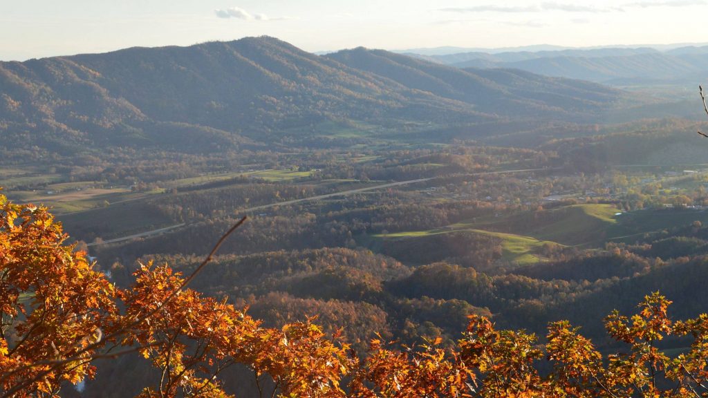
ATVs keep trail open
We were about three miles from the trailhead and about 2000 feet straight up, breaking camp on Olinger Peak in the Stone Mountain Wilderness, when we heard a mechanized hum in the distance. An ATV (All-Terrain Vehicle) rolled into camp, piloted by a mid-40s fellow in camouflage, with a grey-green ruck sack, rifle and thermos. He offered me some coffee.
Scouting for coyotes, he said. His family lived at the end of Payne Branch, which he had ridden up this morning. “I hadn’t been in here for 10 years,” he said. “I used to come up here with my dad, when the lookout was here. He used to pack in supplies for the lookout. I just got curious what it was like up here.” He’d just been laid off from a mining job and had time on his hands.
He said he felt a tad guilty coming up on the ATV; it’s illegal in wilderness. I told him what I had observed—ATVs keep the trail open on Stone Mountain.
show more
That morning we had hiked to what we thought was the wilderness boundary (unmarked) and back, past a spaghetti network of roads at Low Gap. The old route was difficult to follow and had not been cut out in years; we followed machine tracks probably made by local hunters around large blowdowns or unworkable patches of rhododendron. ATVs in wilderness (officially not allowed) kept the route on Stone Mountain ridge open.
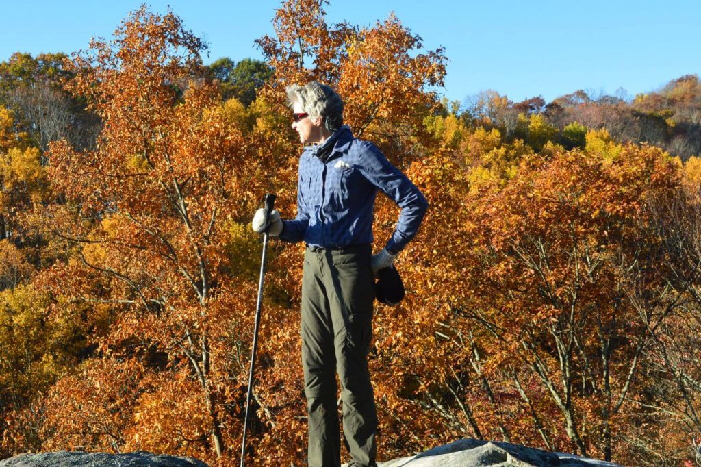
This very scenic trail began so well. We had started at Cave Springs Campground (closed for the season, so we left our car at the gate and hiked from the main road) at noon the day before. Morning rain was clearing off, leaving wet leaves on the road and Appalachian fall beauty in foliage around us. The trailhead was confusing but we found a wilderness kiosk and trail climbing along the campground “swimming pool,” a dammed up drainage, breached for the season. The wide trail ascended on wet, slick stone steps for the first mile; leaves actually were appreciated. We took the turnoff to Cave Springs Overlook, a fancy earthen dais with a view of Powell valley below.
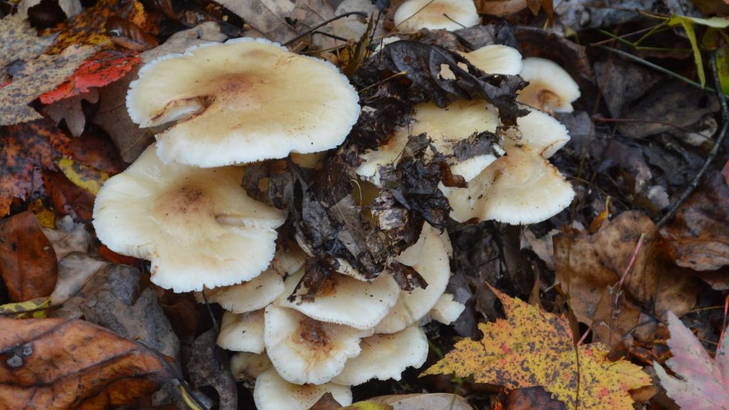
The trail narrowed and began switchbacks on an attractive multi-colored carpet of gold, bright yellow, magenta, bronze brown, rust, yellow and red striped, saddle and tan leaves. Long green ferns along the trail provided a nice contrast with yellow and red leaves remaining high on the tall thin trees above us. A neon orange juvenile Eastern Newt slithered under a pile of leaves and disappeared. David noted the skid marks of a spooked deer ahead of us on the trail.
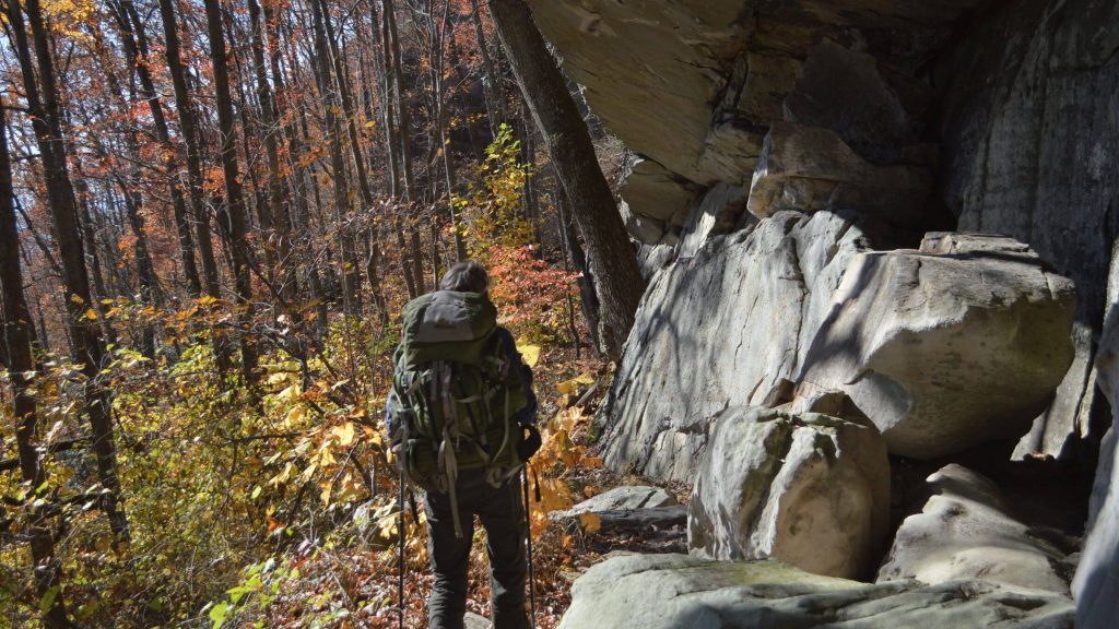
At the 15th switchback, a windstorm had felled large oak and hickory in a draw, a huge pile of big slippery logs to crawl over. Then the trail disappeared under blankets of green briar, raspberry and rhododendrons (rhodies). Perhaps it had been kept open to here by campground hikers. After an hour thrashing around seeking the trail, I headed straight up an open area, soon hit a higher switchback and eventually got to the ridge route, then found a road coming up from Payne Creek. We dropped down this steep road to the rhodie-clogged creek for water, then camped near the former Olinger Lookout (marked by four cement pads and metal work). Green briar everywhere else.
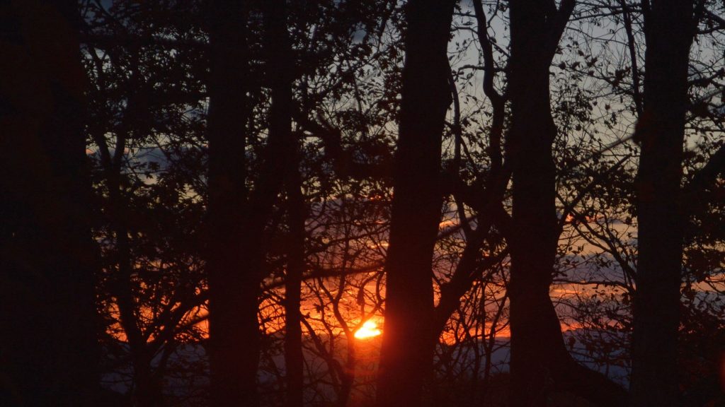
Lights twinkled in Powell River Valley 1500 feet below. A tangerine sunset splashed color against grey remnant storm clouds; a sliver moon rose above the light show. I awoke at 4 a.m. to white luminance beneath our ridge. The fog filled Powell Valley all morning but broke off to bright sun by the time we returned to Olinger.
Our ATV visitor wanted us to see more of Stone Mountain. He offered complicated instructions for finding beautiful stony cliffs on an old railroad grade west of the wilderness. He packed up his coffee, picked up a few cans, and shook his head at the littering. We exchanged goodbyes. He started up his rig, carefully backed around and headed down Payne Branch.
We found the trail all the way back down. Near bottom we found a route that bypassed the stone stairs. David flushed a flock of wild turkeys, but I was too far back to see them. We soon were hiking the road on dry leaves back to our vehicle. Our little red car by the campground gate was undisturbed. No trouble from the locals.
(The blowdown we found on Stone Mountain Trail were cleared and trail opened to the ridge in 2019 according to Forest Service.)
show less
Google Map
(Click upper-right box above map to “view larger map” and see legend including NAVIGATION INSTRUCTIONS; expand/contract legend by clicking right arrow down/up.)
Downloads
- Google Earth map (kmz)
- No GPS track-data collected


