Lifelong partnership began with Rincon hike
David and I first met at the weekly meeting of University of Arizona (UA) Ramblers, held to review past hikes, and propose new ones. Ramblers is the oldest club on campus (started 1946 and ongoing today).
My first year at UA, Ramblers converted me from an eager neophyte to a backpacking veteran. By my second year I was one of the “hard cores” who went on “A” (difficult) hikes!
Rambler friend Richard and I proposed a 3-day trip to the Rincons, with start at backside (Miller Ranch), climb of Rincon Peak, camp near Mica Mountain, and loop back on Turkey Creek.
After the meeting, two interested hikers met with us. Ramblers veteran Steve didn’t have time for the whole trip but proposed to come in a shorter route (Italian Ranch from Redington Pass) and meet us on Mica for an overnight trip. A new guy, Dave, said he would go with Steve.
I sized him up: “John Denver” with wire-frame glasses, blond-brown bangs, and collar-length hair. Hairy muscular legs in cutoffs indicated hiking potential. But his question surprised me.
“Do I need to bring water?”
In arid Arizona. Maybe he WASN’T a seasoned hiker. “Yes,” we said. Manning Spring was only reliable water in Rincons.
On Day 2 Richard and I met Dave and Steve on Mica Mountain. Dave was far ahead. Steve puffed along, wide-eyed. “He just speeds up going uphill!” (See photos for “Mica Mountain” map point for 2021 visit below.)
We did not yet know that Dave had just finished a Forest Service summer job in Idaho where he had hiked every day into different areas to inventory timber. In Idaho mountains, in those days, you just dipped a Sierra cup into the nearest stream!
Dave and I married in 1977; he later told me he preferred his birth name “David” to keep things simple for legal purposes. But he will always be “Dave” to our Rambler friends and infamous from that Rincon trip.
Since UA days we’ve visited Rincons many times including a repeat of a Catalina-Rincon trek done in 1975. Many more hikers near trailheads and Arizona Trail (AZT) thru-hikers on the overused AZT crossing Mica Mountain. But in most visits—including two recent trips previewed below—we see few hikers and rarely share campsites with more than one party. Perhaps long distances, Park Service limited camp areas, and onerous reservation system minimize use.
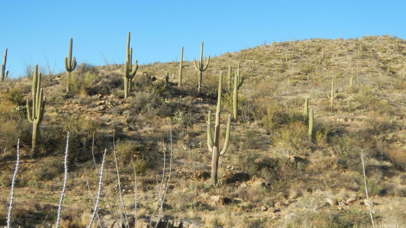
Saguaro Wilderness is almost 71,000 acres in two districts east and west of Tucson. It became wilderness in 1976 along with 13 other national park areas and encompasses almost 80% of 91,440-acre Saguaro National Park. It was named for the majestic saguaro cactus which dominates southern Arizona’s Sonoran Desert.
Forest Service-managed Rincon Wilderness, designated in 1984, encloses Saguaro east district on three sides. Rincon means “corner” in Spanish.
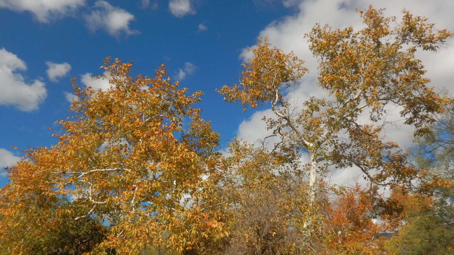
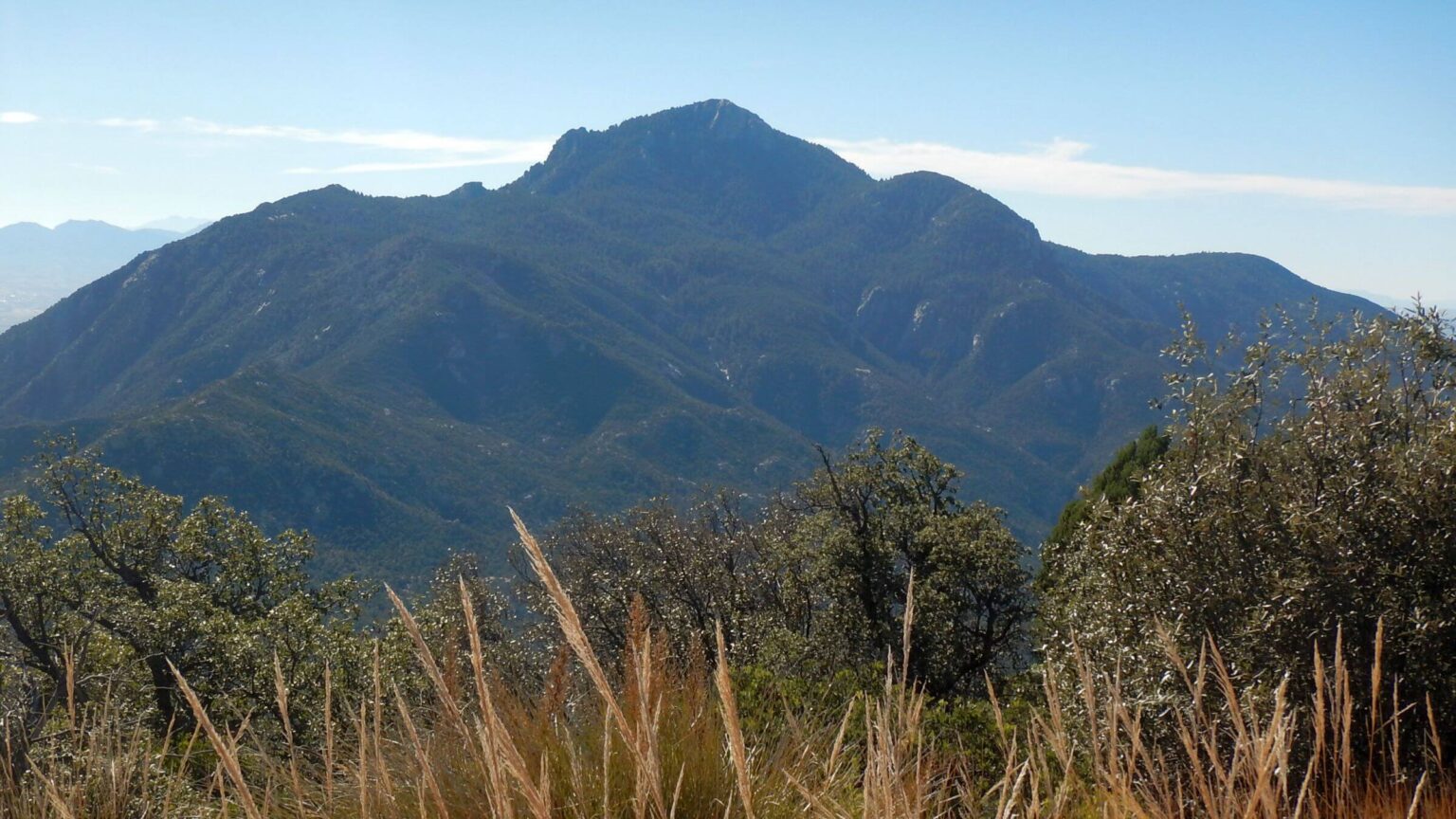
Sonoran Desert comprises the entire western Tucson Mountain District (Tucson Mtns) but only lower portions of the eastern Rincon Mountain District (Rincons). Higher reaches of the Rincons include grasslands, pinyon-juniper and oak woodlands, ponderosa pine, and Douglas-fir/aspen/mixed conifer—one of most diverse wilderness areas in the U.S. Elevation ranges from 2700 feet to more than 8000 feet on Mica Mountain and Rincon Peak.
A section of the Arizona Trail (AZT) 800-mile route from the Mexico border to Utah—traverses the Rincons. AZT thru-hikers seem to be the main high-country users. Although lower trails are crowded with day hikers, few people hike the higher elevations, perhaps deterred by distance from trailheads and reservation requirements for limited campsites.
Backpacking/camping is allowed only in Rincons and campsites must be reserved in advance; Tucson Mtns are restricted to day use. Saguaro Wilderness trails total more than 175 miles between two districts.
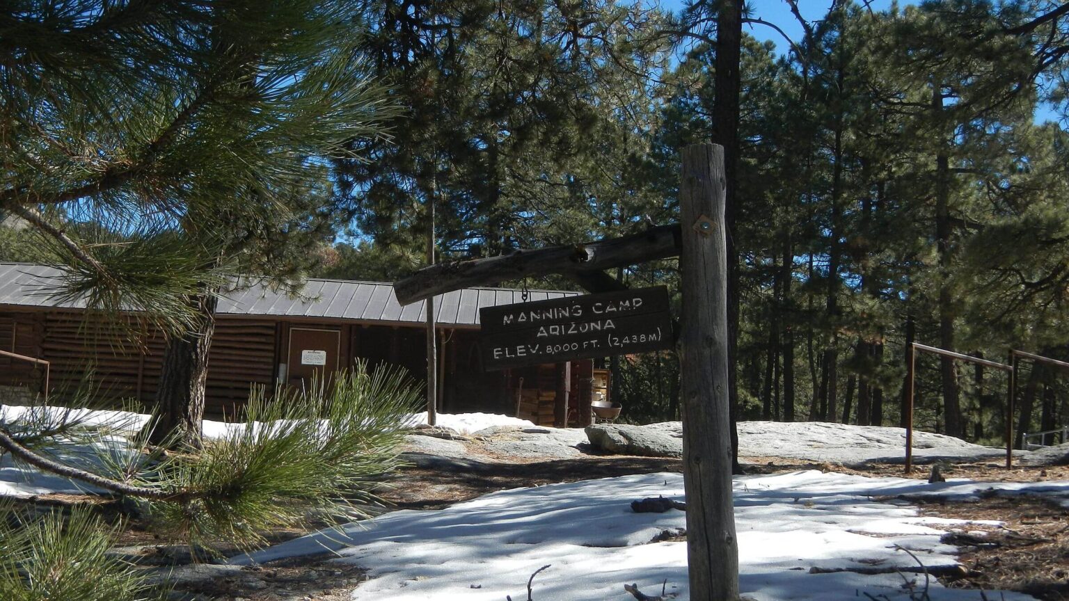
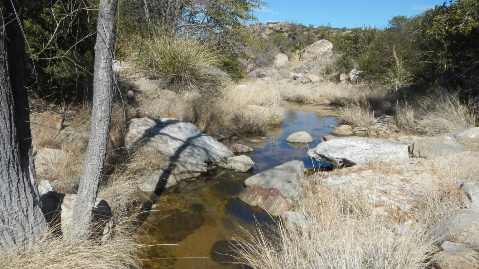
Only Manning Camp has reliable water, although lower sites have seasonal water. We found ample water for our trips in winter and spring. For trip planning, compare real-time water flow in Rincon Creek monitoring station to flows on dates of our visits (about 0.2 cu ft/sec).
Two backpacking trips are included in this post: David’s 4-day solo trip in November 2022 and a 5-day trip for my birthday in February 2021. Also, a short piece on day hiking in Tucson Mountain District part of the wilderness. Map and photos also include a day hike in Rincon Mountain District.
Visit statistics (2022 & 2021 backpacking trips combined): 9 days, 96 miles at an average of 1.9 miles per hour, and 475 feet per mile average elevation change; see map below for summary information on day hikes.
Go to map below for more information on trailheads, GPS routes, mileages, elevation changes, and photos. (Click on white box in upper-right corner to expand map and show legend with NAVIGATION INSTRUCTIONS.
show more
Rincon Loop 2022: Missed Camps And Rerouting On The Fly
David decided on a solo loop around top of Rincons (Saguaro Wilderness east) because I was leaving town for a friend’s memorial service. He wanted to complete a climb to Rincon Peak unfinished on his last solo Rincon hike.I dropped him off at Loma Alta Trailhead, southernmost Rincon trailhead. His circuitous route would head east and then northeast on the Quilter Trail (Arizona Trail [AZT])—then south on Manning Camp Trail to the shuttered Madrona Ranger Station, then on old road to Rincon Creek Trail—western access to Happy Valley, official campground by Rincon Peak.
He planned to polish off Rincon the next day, then trek up Mica Mountain to camp at Manning Camp, hike out to a national forest campsite not requiring reservations, then meet me at Douglas Spring Trailhead. But underestimated mileage and rough trails readjusted his trip three times.
Hiking north on Quilter/AZT, David met southbound thru-hikers coming down from Grass Shack, about 145 miles from their destination on the Mexico border. After he left the AZT, he saw only one group at Happy Valley; otherwise, he had solitude until he returned to the AZT two days later.
Madrona was once a popular trailhead and picnic area, and also a Park Service hub for travel into Rincon backcountry. However, the former X-9 Ranch installed a locked gate in 1965 after disputes over hunter access; closure continued after the ranch was sold and subdivided for a few luxury homes. Park Service has access but closed Madrona after an outbreak of hantavirus. Given access and trespassing issues, neither Manning Camp nor Rincon Creek trails get much public use.
Total distance to Happy Valley turned out to be 18 miles—2 miles farther than David estimated. First 8-9 miles to Madrona and on road contouring above the new subdivision went quickly. But overgrown Rincon Trail was slow, and he ran out of daylight on the short fall day.
He ended up camped on a flat overlooking Rincon Creek—4 miles short of his reserved campsite. A stone table indicated previous campers.
Slow scrabbling on brushy trail continued next day, and David got to Rincon Peak turnoff in the afternoon rather than planned morning start for the steep 6-mile roundtrip. He made the peak but was headed down at sunset. He picked up his backpack at junction but immediately tripped in a wash, got disoriented in dark, and then noticed a nice campsite: flat with soft ponderosa pine needles by the wash!
Once again, he camped short of his goal and illegal by Park Service policy, which requires camping only in one of six reservation sites—only camps throughout the wilderness.
Next morning David was almost a day behind on his plans and decided to switch routes. Instead of Manning Camp he would loop around lower end of Mica on AZT and camp at Grass Shack, coming out to meet me at Douglas Spring as planned.
He met Rincon Peak hikers camped at Happy Valley and, later, some northbound AZT thru-hikers on heavily used AZT heading to Manning Camp.
Luckily only one site of three was occupied, so he had a last unreserved camp in Rincons.
His last day on popular trails from Cowhead Saddle to Douglas Springs and the series of “stairs” (Park Service “check dams” for erosion control) included the usual barrage of day hikers and trail joggers. It also offered a little rendezvous drama.
I had received an inReach satellite phone message from David earlier in the day as I was driving back from Phoenix, taking a circuitous route around a traffic jam on Interstate-10.
No more messages came, so I drove to the trailhead and jogged up Douglas Springs Trail, planning to meet David en route. I chose a parallel trail from the many “spaghetti trail” options in lower part of Saguaro, rejoining main trail as it clambered up “stairs” to the first ridge top. No sign of David on top. Had he bounced down this trail while I was taking a different route?
Hikers coming down had not seen a guy with a backpack. Hmm. I trotted back down, passing more hikers on their way up. Near the trailhead, a text message arrived. David was still above me. For some reason inReach did not work in the series of washes below Douglas Spring. I turned back and met him half a mile back up the trail.
Cold February 2021 Birthday Hike
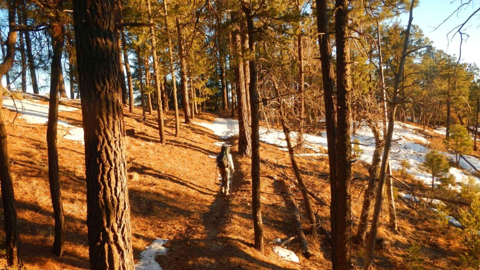
In 2021, we wanted to revisit Rincons to mark my 66th birthday. But we were concerned about water; Tucson had little rain since May 2020 and we had seen dying cactus around town. Then a late January storm dumped 2 feet of snow on mountains around Tucson.Still cautious, we did two “check out” day hikes to east and southwest ends of wilderness and found ample water (see day hikes on map below). Our February backpack found sufficient water at Juniper Basin, Grass Shack, Manning Camp, Douglas Spring, and pools in the low country.
But it was cold! After chilly hike to Juniper Basin, we found one cold camper with a blazing fire (technically illegal, but who could blame him?). Cold and high winds seemed to be “climate change” effects where shift in air currents (due to warming Arctic) sent cold temperatures from Canada with ice storms in Texas and frigid dry high pressure in the West.
We set up in woods out of the wind. Just before bedtime a couple came bouncing down the trail. From where? From the man’s European accent I heard, “Meeka Mountain.”
We were surprised next day by icy snow drifts on all north slopes from Tanque Verde Peak upwards, though all had melted off on south slopes even at higher elevations. I was tired by up and down ridge run to Cowhead Saddle, but mellow contour up Mica Mountain in the sun was pleasant.
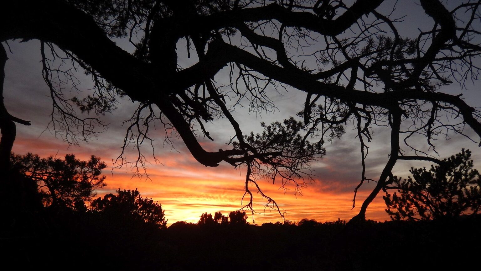
After a snowy skid into Manning Camp, we found a dry site all to ourselves. After we filled up at the spring (running the best we’ve ever seen), I was shocked by a sunset so bright it lit up the camp area. I first thought other hikers had come in and set up lights.
We met no one on top, although tracks in snow indicated some had trekked around Mica Mountain since the storm. David also noted recently burned trees, perhaps from controlled burn or previous season wildfire. Note on map below seven wildfires between 1989 and 2014.
We did snowy day hike around Mica, then descended to Grass Shack where one other backpacker was already nestled into his lean-to. He left before dawn. We wondered if he—and other snow sloggers on top—might be an early Arizona Trail (AZT) thru-hiker.
Dropping out of the high country, we met people: at Douglas Spring a woman filling up water, a hiker springing up the trail with light pack, a young guy talking on his phone in one of the campsites, then a whole cluster of Boy Scouts and their leaders en route to camp at Douglas. Three deer browsing peacefully on a ridge were the wildlife highlight.
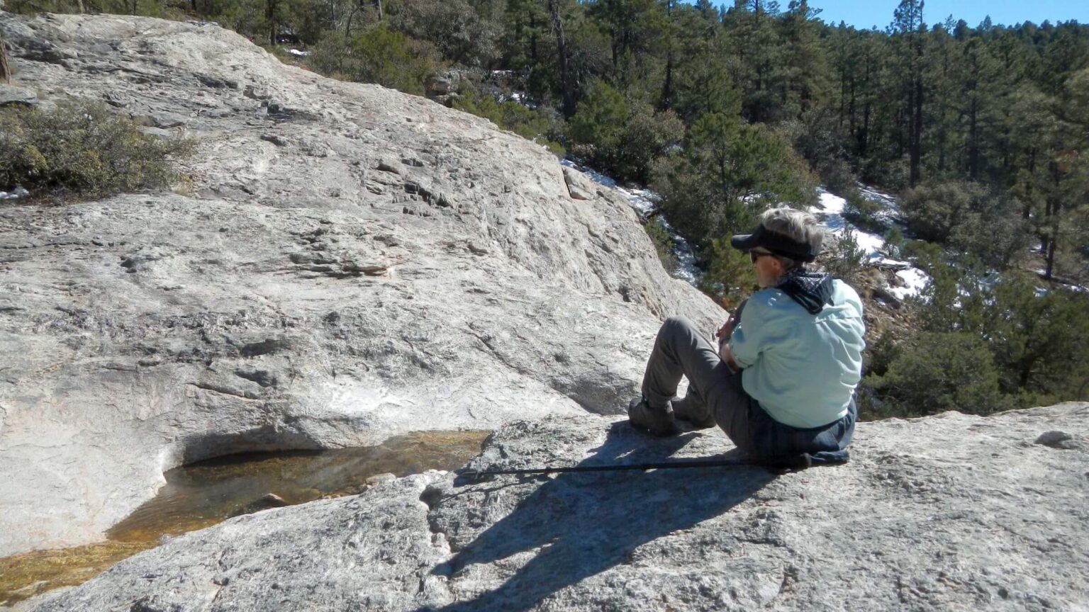
We saw bright-attired hikers far below us on their way out. We returned to solitude when we turned off main trail and took switchbacks to a wash near Ernie’s Falls (no falls but nice pools). This area, in Rincon Wilderness on national forest with no required camp permits, is our favorite campsite on the way out of Rincons.
After breaking camp at sunrise, we met 10 trail runners at the junction from the trailhead 3.4 miles away. We mostly avoided popular Douglas Springs Trail, hiking parallel side trails and then Cactus Forest Trail to our vehicle at Javelina Picnic Area in Saguaro National Park.
We met 40 day hikers near Douglas Spring Trailhead and another 50 on short trail segments across Cactus Forest Drive (not to mention cyclists, vehicles, and dog walkers on the road).
Park Service: The Absentee Landlord
In the 1970s, one got permits from the Saguaro National Park visitor center. Now visitors must use the national online system for all camping. It’s tricky and more designed for camping than backpacking, but it sort of works once you figure out the drill. People seem to reserve more than they actually visit. Also, Park Service sometimes reserves large blocks for trail crews—including leave periods where tents are left pitched in otherwise empty campsite (see map point “Camp3: Spud Rock” on map of 2021 Rincon visit).Park Service is mostly an absentee landlord. Saguaro National Park phone line only dispenses one-way information and accepts no voice messaging, and Rincon visitor center is only staffed a few days week.
If you have wilderness camp reservations, you can park in Javelina Picnic Area near the Tanque Verde Trailhead. However, if there is no staff at the park office, call the park information number and jot down the number for PARK WATCH. This is the law enforcement dispatch number. You want to make sure that park law enforcement knows you are parking there legally.
I say this based on experience. On a 2016 visit, we had left our vehicle (legally) at Javelina but returned to find an orange violation sticker. We had been delayed by bad weather and poor trails, and changed our itinerary with the Park Service, but information was not conveyed to the agency’s Law Enforcement branch!
On 2021 trip, we saw no park staff at entrance station and visitor center. I found PARK WATCH number through the information line, called, and talked to a dispatcher in Price (Glen Canyon Recreation Area)! She promised to convey our trip information to right people.
It worked. No orange sticker when we returned from our trip!
Although we often see law enforcement vehicles patrolling in the park, we have not seen much Park Service presence in the wilderness. Years ago, I met a wilderness ranger on patrol at Douglas Springs, and we sometimes meet volunteer patrollers near the trailhead.
Perhaps we are just out of season. Park Service staffs Manning Camp during April-August with wilderness rangers. Manning Camp seems to get the most agency attention; the backcountry camp has a nice vault toilet with sanitizer and toilet paper.
But toilets at Douglas and Grass Shack camps are not well-stocked, register on Tanque Verde Peak has not been changed for several years, and little maintenance on Tanque Verde Trail.
Park Service could accommodate a few more backpackers with more campsites; many flat areas in Rincons could be shoveled out, signed, and added to the reservation system.
Hiking With The Crowds In “Secret” Wilderness: Tucson Mountains
In a blog reflecting on my 66th birthday hike in Saguaro Wilderness, I compared my struggles on steep up-and-down ridge trails to my 20th birthday in 1975, when I hiked from Tanque Verde Trailhead to Juniper Basin with one set of friends, then jogged to Cowhead Saddle and Grass Shack to rendezvous with another friend and hike out Douglas Spring by moonlight—30 miles.My 21st birthday was also a hike: an overnight backpacking trip with friends to Wasson Peak in the Tucson Mountains, hiking up in late afternoon and evening to cook steaks on the mountain.
Returning to Wasson in 2018, I realized I could no longer do this birthday backpack. First, camping is no longer allowed. Second, we would never have the mountain all to ourselves. We saw at least 40 day hikers (one group with 15 people) on our loop to the highest peak in Saguaro West via Hugh Norris, Sendero Esperanza, and Dobe Wash trails and Bajada Loop Road.
Although thousands of people hike Saguaro National Park’s Tucson Mountain District in winter and spring, I doubt many know the area is wilderness. It’s in three blocks, excluding a scenic loop road, Golden Gate and Picture Rocks roads, called “cherry stems” (or extension of non-wilderness through wilderness).
Park Service only allows day hiking in the Tucson Mountain District but nearby Pima County campground is great for extended visit for day hiking all trails. The Park Service—as it often does—downplays Park’s wilderness status; maps from the visitor center don’t even distinguish the wilderness boundary.
In our first visit to this wilderness, the only solitude occurred on Cam-Boh Trail (Tohono O’odham word meaning “camp”). The trailhead sign had rules, safety warnings and, under the header “Backcountry Hiking,” noted that “you are entering designated wilderness.” That’s also the only mention of wilderness we saw on our 2-day visit.
Our late afternoon loop began with a sandy slog up Prophesy Wash, where a few ironwood, mesquite, and palo verde trees shaded the wash while creosote, ocotillo, and cacti—including saguaro, barrel, and cholla—lined the banks. Prophesy Wash ultimately connects to Picture Rocks Wash, named for petroglyphs which are on private land outside the park.
We hiked back across barren flats on Ironwood Trail to return to our vehicle via Cam-Boh, crossing washes in the light of a full Supermoon, with the sound of roaring vehicles on nearby Picture Rocks Road.
Park Service could accommodate some short backpack trips into the extensive wash trail system in Saguaro West by allowing modest overnight camping with pack-in water.
As is, camping at Gilbert Ray Campground (link above) on edge of the national park in Pima County’s Tucson Mountain Park is nice alternative.
show less
Google Map
(Click upper-right box above map to “view larger map” and see legend including NAVIGATION INSTRUCTIONS; expand/contract legend by clicking right arrow down/up.)