Vast “vehicle-friendly” wilderness
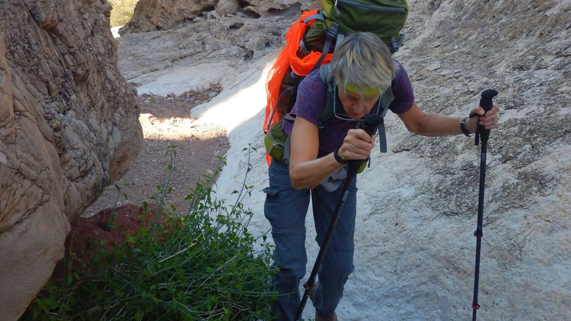
Alone in wilderness quiet, we broke camp and started a few miles cross-country—over a hill, into a wash, and over another ridge into upper Red Raven Wash while skirting overhanging mesquite trees. A hawk dived down—maybe hunting a jackrabbit, the main wildlife we saw in Kofa Wilderness. David spotted a tawny figure loping on ridge above us—coyote? Perhaps a cat, indicated by a big paw print in nearby wash.
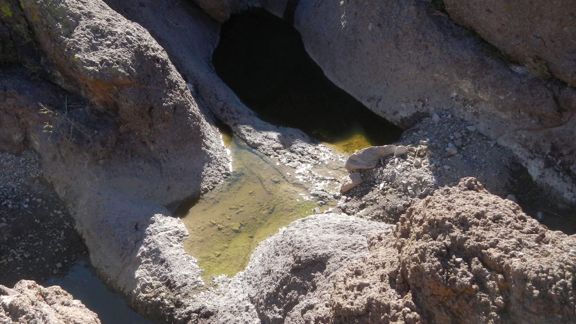
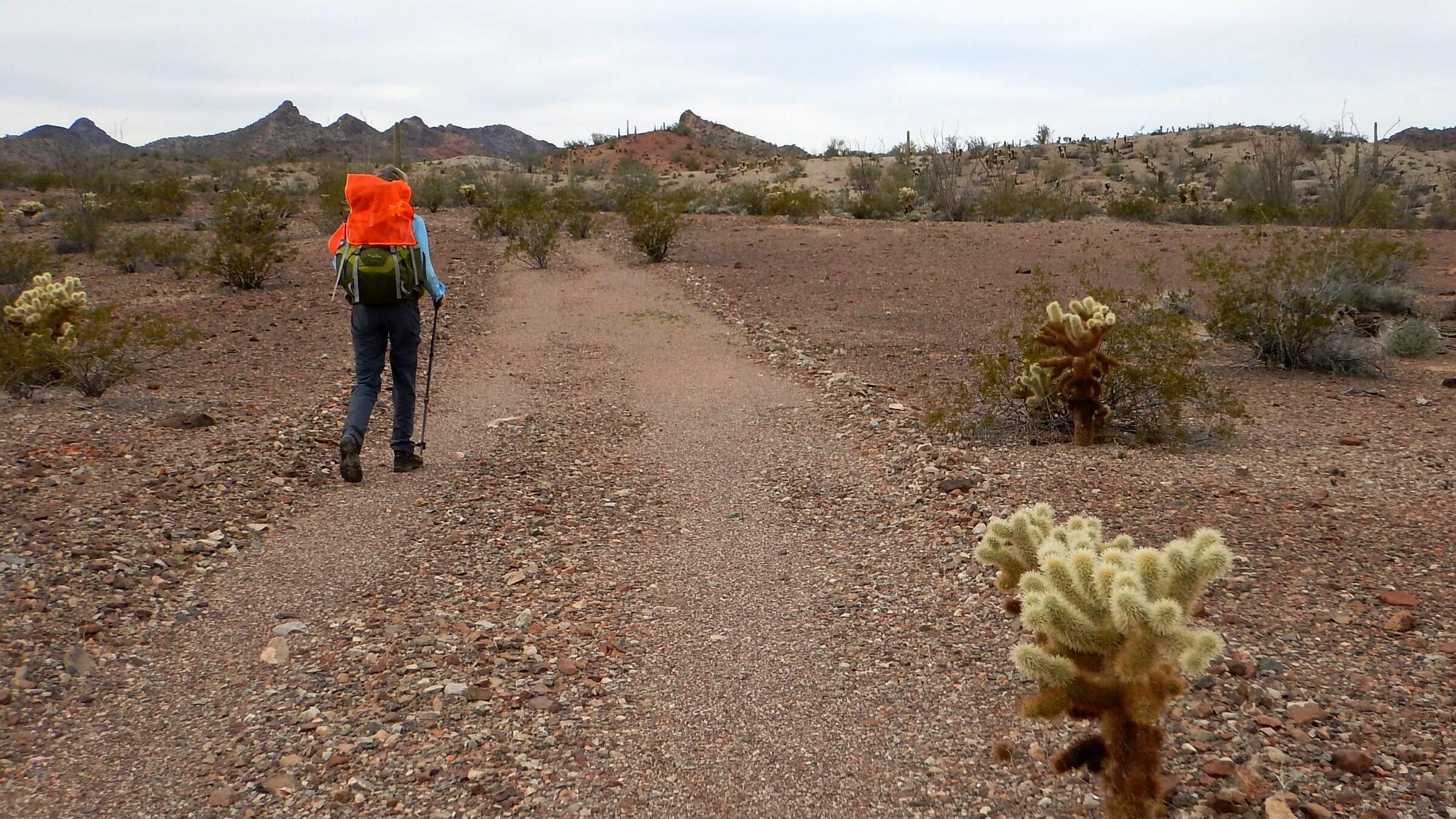
Another ridge, then rough descent into Burro Wash to follow gravelly vehicle ruts. We needed water for breakfast but found no pools as we trudged down. David’s GPS showed a turnoff and trail up to a tank nestled in a side canyon. High Tank 7 featured deep pools protected by a shade structure and a log dam. Wood must have been packed in—most roads in wilderness are open to motorized vehicles to maintain wildlife tanks.
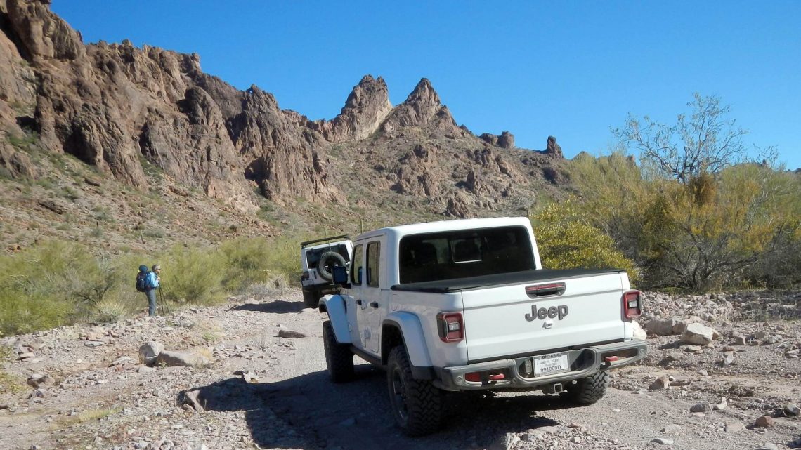
We were just finishing breakfast when we heard jeeps roaring up the wash. People piled out of two vehicles, greeted us, and headed up trail to the tank—the only trail we found in this wilderness (other than the one-mile Palm Canyon trail on west side) and apparently a day trip destination.
We saw more people—and heard more vehicles—on a 2020 backpack trip in the Kofa than we did in a previous trip circuiting the entire area by jeep!
In that December 2018 visit, we traversed wilderness roads by vehicle, making short overnight trips via washes or closed roads packing all water—which we didn’t need! Heavy October rains left ample water in potholes, filled Wilkinson Seep, and launched early bloom of cactus, brittlebush, and poppies. We saw only one hunter vehicle parked by the seep, one group driving the exempted roads, and a few people/vehicles near wilderness entrances.
Large Wilderness Named For Mine
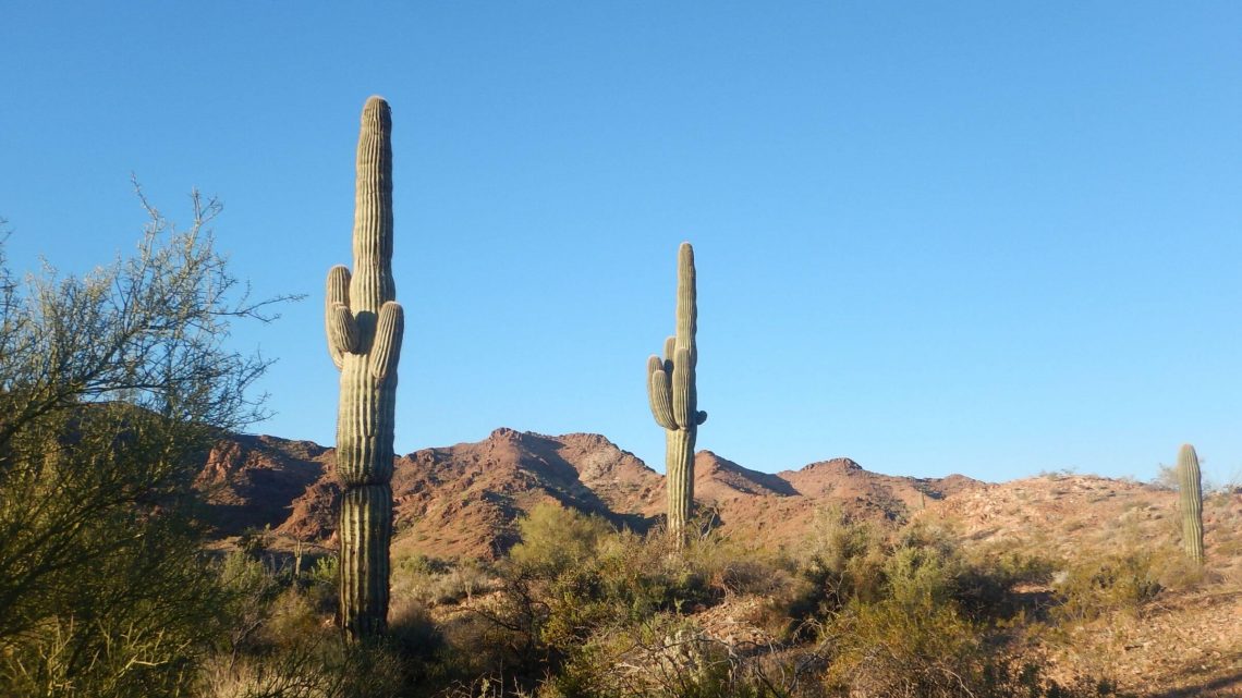
The name “KOFA” is from King of Arizona Mine in center of wilderness, which scoured the area for precious mineral deposits in early 1900s; old tracks and mining sites remain. Kofa National Wildlife Refuge was established in 1939 to protect Arizona’s largest desert bighorn sheep population; most of it was designed wilderness in 1990, making it the second largest wilderness in Arizona. (Largest is Cabeza Prieta, another wildlife refuge made wilderness in the same law.)Kofa Wilderness is Arizona’s second largest (500,000 acres) and managed by U.S. Fish & Wildlife Service (FWS), which seems to mostly ignore purpose of wilderness according to Wilderness Act of 1964 (…“for use and enjoyment by American people”)—except for hunters and Universal Terrain Vehicle (UTV) enthusiasts. FWS offers no information on backpacking or water sources, and only maintains one mile of trail into Palm Canyon. This post covers visits in 2020 and 2018.
About 240 miles of primitive road crisscross Kofa Wilderness; 38 percent are along wilderness boundaries, while 62 percent are cherry-stemmed within wilderness. FWS uses these roads to manage desert bighorn sheep water sources (tanks and wells), but they are also open to the public.
First 2018 visit was a “check-out” where we drove 92 miles of road through heart of the wilderness and backpacked five short loops—carrying most needed water (on advice of FWS). We used closed/open roads, washes, and ridges between roads. We learned that the Kofa offers ample water in rocky washes when there is fall/winter rain, and that it is quite easy to hike cross-country in washes or across moderate terrain. In addition, sheep trails that cross passes, and old closed roads shown on USGS topographic maps, make excellent routes because the harsh desert environment preserves even mild disturbances for decades.
Our 2020 visit was a six-day backpack into northwest end of wilderness that connected open and closed roads with cross-country routes. Excellent water sources included Squaw Tank, High Tank 7, Red Hill Tank, Wilkinson Seep, and a few rocky-canyon pools along our route. Some tanks were natural pools in rocky shaded canyons, while others were “improved” by FWS; see map photos for details.
Visit statistics for both trips: 13 days, 127 miles at 2.4 miles per hour, and 200 feet average elevation change per mile.
See map below for detailed routes, mileages, elevation changes, and photos. (Click on white box in upper-right corner to expand map and show legend with NAVIGATION INSTRUCTIONS.)
show more
Area has numerous concrete dams, windmills, wells, and water tanks, some built for previous mining and ranching. Some have deteriorated; others are maintained by refuge staff for wildlife water needs. This management use explains proliferation of roads.
Fall 2019 provided good rains in Arizona, so we decided to try another Kofa backpack in January 2020—this time a loop without help of a vehicle! FWS biologist agreed we’d find enough water in springs and canyon potholes. Most of our loop would be in western and northern parts of this wilderness—which turned out to be more popular than the areas we visited in our short 2018 overnight trips.
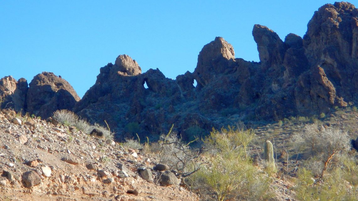
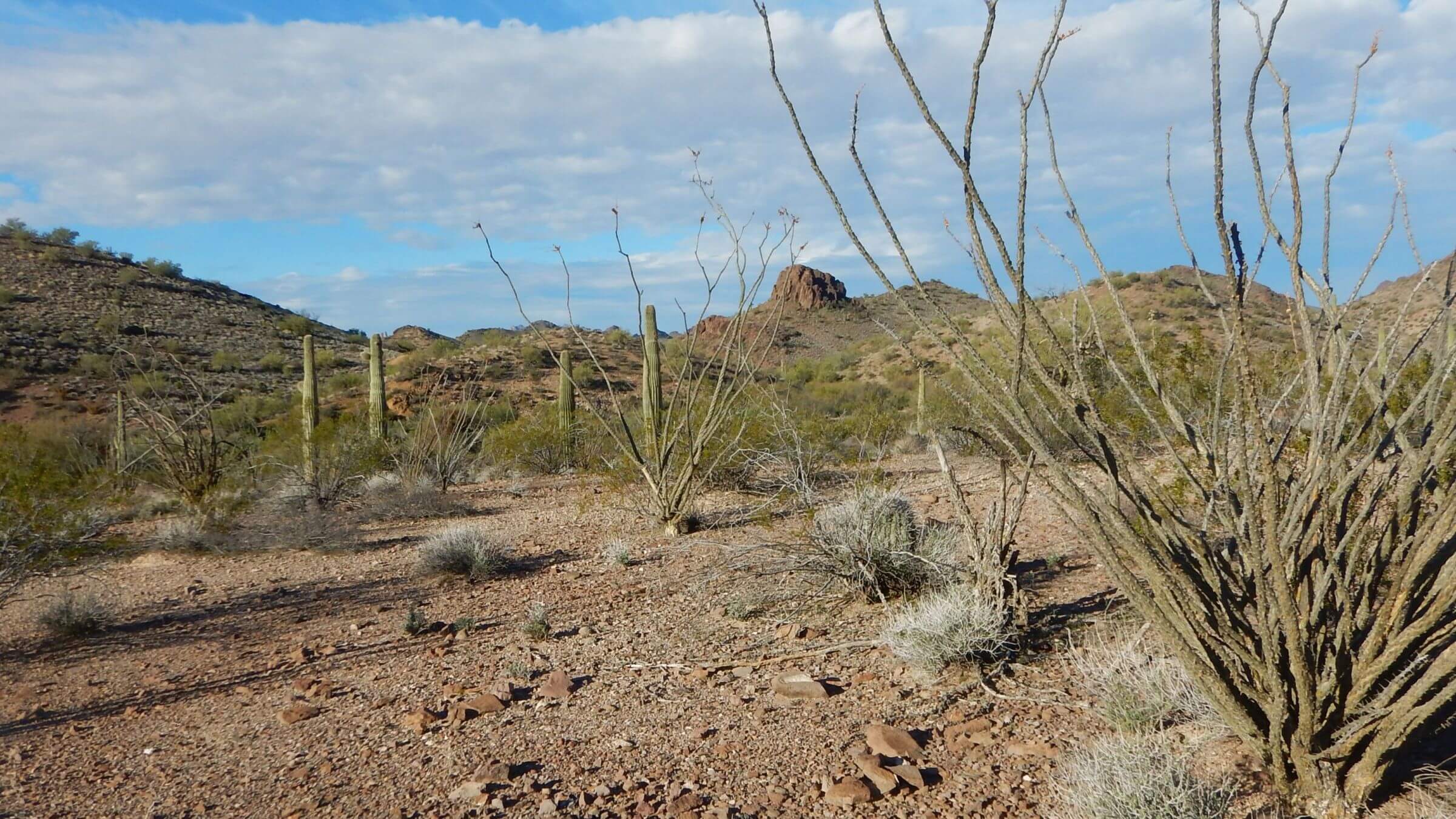
Our 2020 trip started on Palm Canyon Road, popular for informal “snowbird” camps. We left our vehicle at a pullout and scrambled north, crossing washes and rocky desert for 2.5 miles to Kofa Queen Road. On this route along a wide wash into the mountains, we met many day-use jeeps. We dropped our packs at Ten Ewes Canyon, where a good route marked with stone markers (cairns) climbs to Signal Peak, highest in wilderness at 4877-feet elevation.
Day trip to Signal was unsuccessful; we started too late and had to turn around halfway. We camped in a nice flat across from “trailhead.” A vehicle woke us the next morning: early morning peak-baggers parked across from camp.
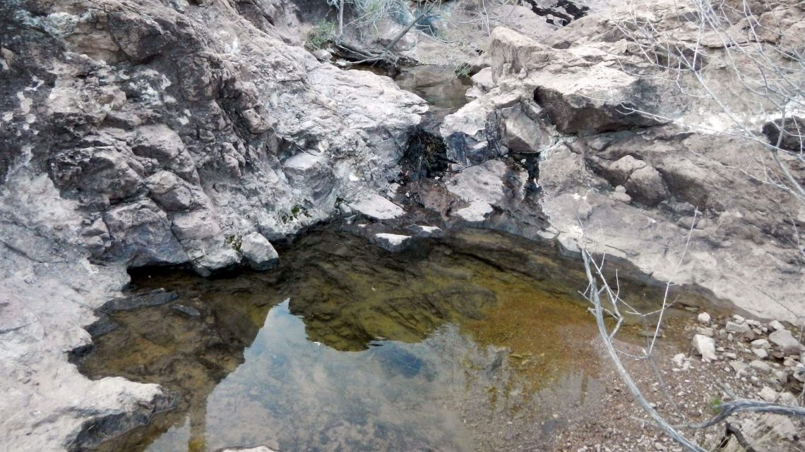
We hiked road to old Kofa Queen mine site: a welcome road closure. We had solitude all day on a closed jeep route to a small pass, a brief descent to a wash, and then a sheep trail to Squaw Tank: beautiful pools among rocks. A slog down a wash brought us to the Wilbanks Cabin and windmill (we did not find an open tank), then to Wilbanks Road over Bighorn Pass. We camped near some potholes that also had water in 2018. At sunset, a pickup clambered up the wash, parked awhile, went on up the road, returning after dark.
Sharing Wilderness with Jeeps and UTVs
After our cross-country trek to Burro Creek, we were on High Tanks Trail and boundary roads and saw many vehicles. Next day we got water at lovely Red Tank pools and hiked a lesser-used road where we saw three vehicles total, including a bow hunter’s jeep parked near fenced but dry Jasper Spring (FWS had warned spring might be dry).We soon turned off on a closed road that looped back to Wilbanks Road with no vehicles or tracks. Back on Wilbanks Road near Owl Head formation, a fleet of UTVs raced down Alamo Wash past us. We camped near Wilkinson Seep, which had water but was not filled to brim as in 2018. Potholes a little further up the wash offered better water.
Next morning, we saw only one vehicle, a hunter in a pickup truck on Wilbanks Road. We saw no one else once we turned off into the wash we came in on. However, on far side of the low pass into Kofa Queen, closed road had been illegally “reopened” by a jeep group; they had forged a route past the closed gate up an old jeep track and added rocks and logs to assist vehicles in washed out areas.
We were surprised at “more solitude” on the 2018 circuit by Jeep than on our backpacking loop but there were factors of weather and location. Wilbanks Road, a cherry-stem road going north-south through heart of wilderness (built by ranch family in 1930s), is open to motorized vehicles. However, heavy fall rains had created a washout on the south end in 2018, so vehicles could not drive through. In 2020, Wilbanks Road was open; we saw evening hunters and encountered UTVs rushing down Alamo Wash, which Wilbanks Road follows for several miles.
Also, we did our 2018 overnights on the eastern and southern ends of the wilderness—much further from the Quartzite area (where up to two millions migrant “snowbirds” from colder northern states reside in winter, in mobile-home housing tracts or Long-Term Visitor Areas [LTVAs] on public land). Restricted military area in southeast also prevents through traffic. Our 2020 backpack loop used northwest boundary roads much closer to Quartzite.
Future Visits, Bighorns, and Backpacking
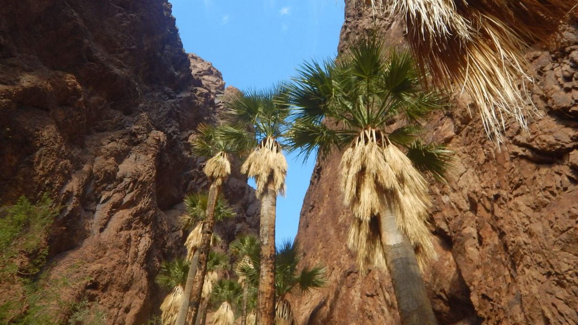
If we come back, we’d plan it for a wet year and ask FWS which tanks might have water (such as the many tanks in remote Castle Dome Mountains shown on refuge map) and plan a cross-country trip hiking between them.Although we had followed their trails, we did not see any desert bighorn sheep on either of our visits to this wilderness devoted to their habitat. Either they are widely dispersed because of abundant water, or they don’t like vehicles either. In late fall 2019, friends of ours hiked beyond the one-mile trail into Palm Canyon and heard loud clashing from bighorn rams fighting.
Kofa would be relatively easy to manage for backpacking. Old mining routes and sheep trails over passes could be marked with cairns and a few loops created. Viable tanks (some improved, some natural) could be marked on a map for reliable water after favorable weather conditions. And big tanks maintained by FWS for wildlife could include a spigot for hikers. We also suggest closing most of Wilbanks Road and other cherry-stemmed roads to public vehicle use, allowing administrative use only. With increasing winter “snowbirds” residing temporarily in the area, UTV and jeep use may soon overwhelm this remote desert refuge and the wildlife it is supposed to protect.
show less
Google Map
(Click upper-right box above map to “view larger map” and see legend including NAVIGATION INSTRUCTIONS; expand/contract legend by clicking right arrow down/up.)