It started in Virginia. And it led to revisiting favorite places across the country and rediscovering our own need for wilderness.
A plan to visit all the wilderness in Virginia—and write a book about our adventures—was born in summer 2012.
The list of Virginia wilderness on the interagency wilderness site was our first surprise.
Virginia has 24 wilderness areas! The largest is Shenandoah Wilderness, more than 40 percent of the park; “wilderness” we had unknowingly hiked over 13 years. The map we used had inadvertently left off the wilderness layer and Park Service portal signs proclaimed “backcountry,” not wilderness.
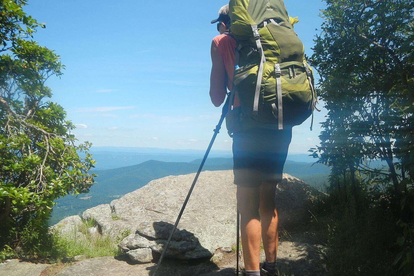
Next surprise occurred on our first documented wilderness visit in August 2012. We chose two popular wilderness areas along the Appalachian Trail—Three Ridges and Priest—because we thought they would be easy. They weren’t. Staggered by elevation change of almost 700 feet per mile, we hiked into dark two nights and came home humbled.
We finished the Virginia project over four years, interrupted by two international assignments and other work efforts. In 2019 we revisited northern Shenandoah wilderness. Posts on Virginia wilderness include the 2012-2014 trips and the recent revisit. In doing this project we were also surprised to learn that:
- Much of Virginia wilderness was little visited—except along the Appalachian Trail (AT) or wilderness within popular areas like Mount Rogers National Recreation Area or Shenandoah National Park but even these have minimal backpacking other than AT hikers.
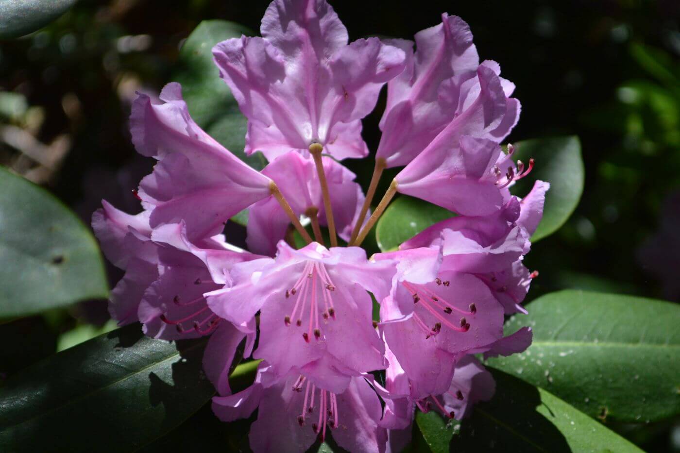
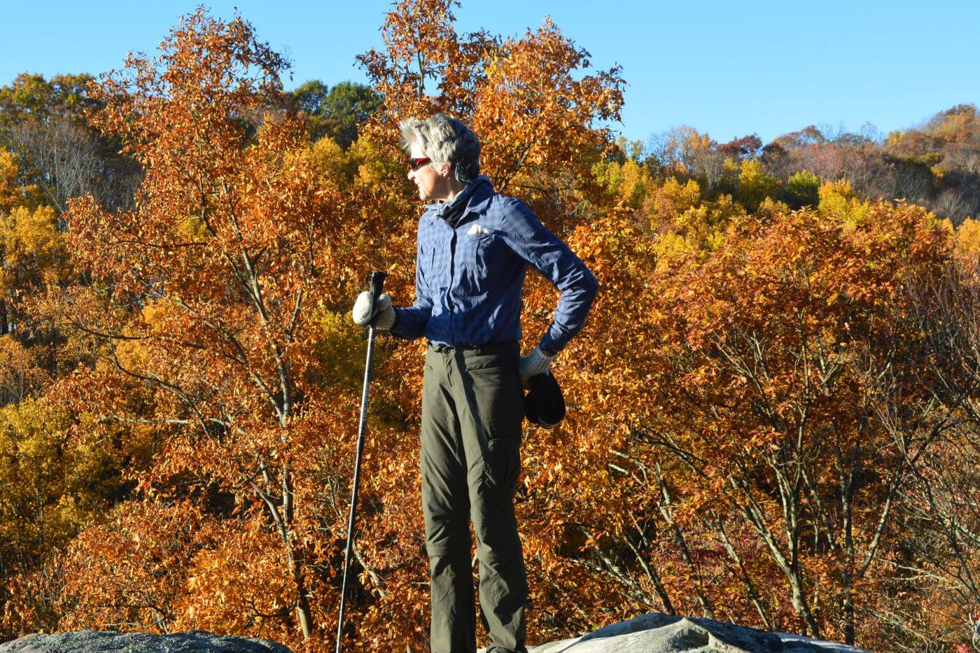
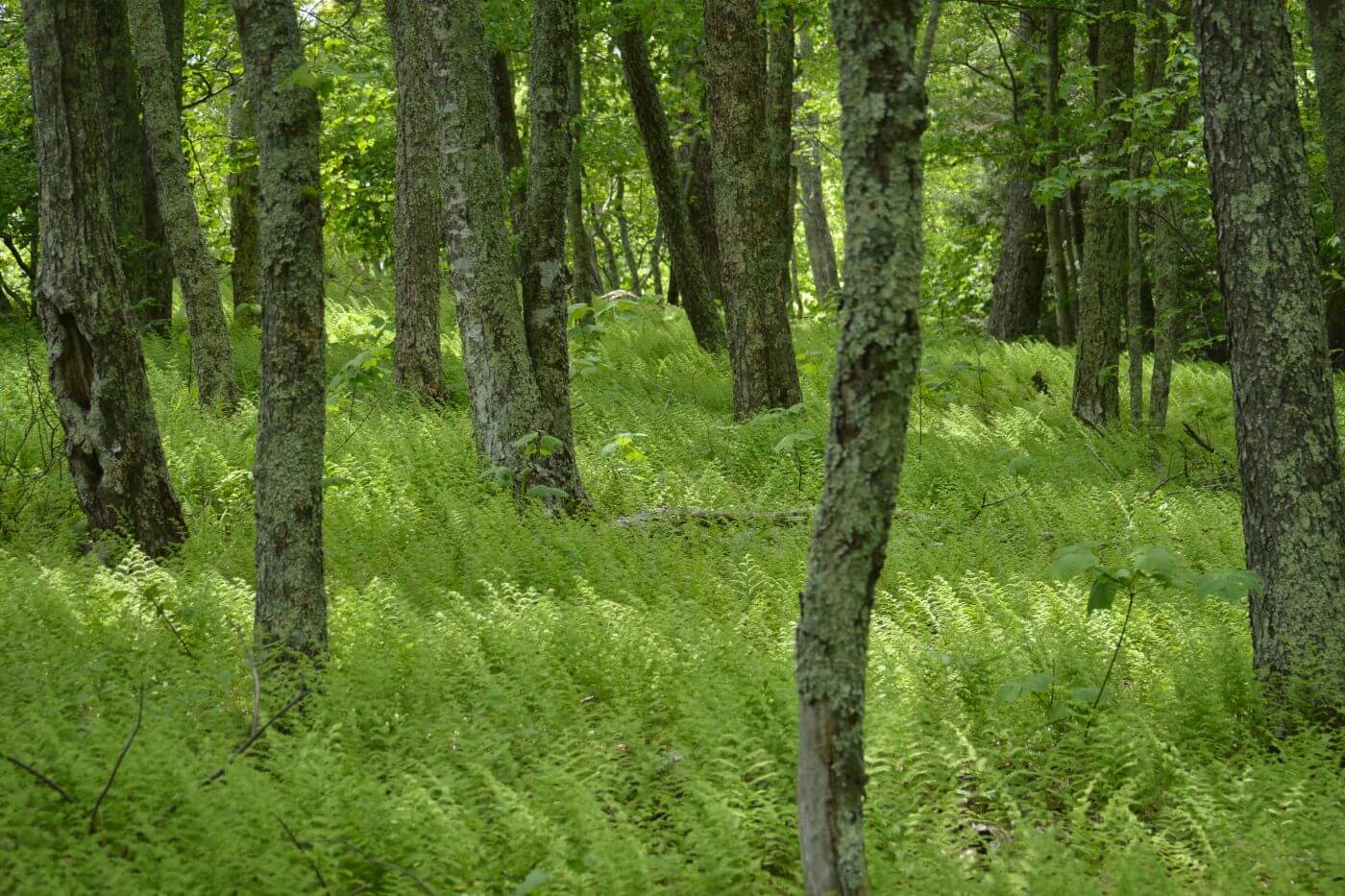
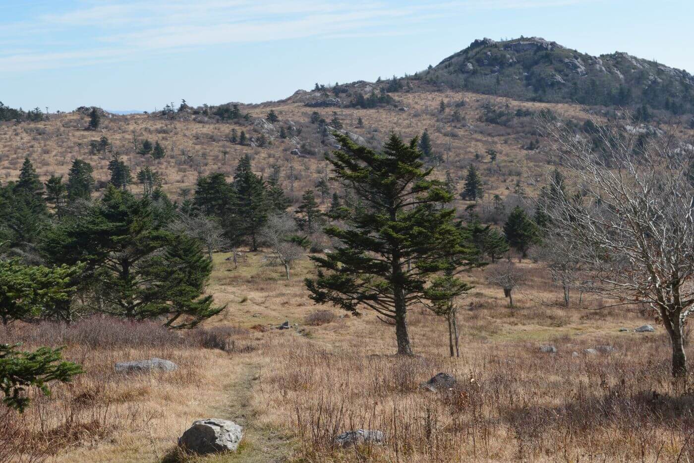
- Virginia wilderness offer incredible beauty and solitude. All encompass forests on ridges, valleys and streams that were clear-cut or farmed nearly 100 years ago, now recovering. They offer four-season hiking with magnificent spring flower and shrub blooms, blazing fall colors, wide-angle ridge views during winter leaf-off and often cool breezy summer days on the high ridges (while some hot humid days remind us this is the South).
A final surprise on the Virginia Wilderness project: it made a great book but publishers did not agree. Regional publishers are being bought up by larger ones, the market is flooded and I received only marginal interest from a couple smaller outlets that seemed too busy to follow up.
When we moved back to the West in 2016, we decided to revisit wilderness had hiked in past to observe changes and report our findings. Since wilderness books seemed hard to publish, we started posting our findings on this website. This summer I rewrote the Virginia Wilderness book chapters for the website. We organized Virginia posts into 7 physiographic regions, so most of these posts include 3 to 4 wilderness areas.
Including Virginia, we’ve explored or revisited 60 wilderness areas collecting photos, notes and GPS tracks (once we figured how to save, download to computer and not otherwise lose tracks). We are also starting to share our “findings” from wilderness visits in guest editorials, columns and in presentations at wilderness meetings.
The first finding builds on the wilderness overuse/underuse principle we found in Virginia. It is also true for wilderness in the other 10 states we’ve visited in the past seven years. We call it the Solitude-Trails-Inverse—when trails are good, solitude is low and when trails poor, solitude high.
Poor wilderness hiking information is a problem almost everywhere we’ve visited other than for “thru-trails” that bisect wilderness (Appalachian, Pacific Crest, Continental Divide and Arizona Trails). Government agency wilderness websites may list trails for specific areas but descriptions often are of little value without much effort (to figure out confusing websites, correlate user-unfriendly or limited web maps with one’s own GIS maps, and phoning for current conditions). Phone calls sometimes net good information—almost always from a gung-ho employee or volunteer who has gone the extra mile! Personal websites and blogs may offer information, but most are daily trip descriptions with beautiful photos but little thought given to succinct information for potential user—so it’s very time consuming to wade through these. Further, the gold-standard 1:24,000 topographic maps created by U.S. Geological Survey (USGS) are no longer field checked and updated for trails. GPS maps and other commercial maps generally reproduce this outdated material in their “new” offerings.
A poorly maintained or designed trail system has been our biggest barrier for using and enjoying wilderness in most of our 60 recent wilderness visits. Many areas inherited a legacy trail system designed for transportation (not recreation). Recent climate related disturbance (e.g. more large fires and big storms along with invasive pests and avalanches, all felling trees) has damaged and blocked trails. Trails often are poorly maintained because agencies no longer use them for transportation; declining recreation budgets cannot fill the gap.
In the 1970s and 1980s, before the era of climate change greatly affected trails, one could successfully plan and navigate a trip in national forest wilderness using only a half inch-to-the-mile scale planimetric map. The trails were good and junctions well signed, the Forest Service was well-funded to update these maps and do minor custodial trail work. Now each wilderness visit is a major planning effort using GIS, available maps, Google Earth, and web searches to locate other data like fire boundary maps or hydrologic stream data for dry areas. After all this, the trip still is often an exploration with backtracking or on-the-fly itinerary changes.
Hence, a key part of our mission is posting detailed information on this website of our wilderness visits to help others can find their way. We advocate for the wilderness visitor—the stated purpose for creating wilderness in the Wilderness Act of 1964.
Including Virginia, our website now includes 17 wilderness-visit posts covering 34 wilderness areas.
In 2020, we plan to finish posting our backlog of visits to 26 wilderness areas. Next goal is posts on about 100 wilderness areas by revisiting 40 wilderness areas in California, Colorado, Montana, Nevada, New Mexico, Oregon, Utah and Washington—God willing that our aging bodies finish the course!
I would love any info you have on the Va Wildernesses as I am in the process of checking them all out!
Hi Kelly. Kudos to you for checking out the Virginia wilderness areas! Where have you been so far? For more info, check out our posts under Wilderness Visits Virginia. Posts include route maps and links to resources like maps and approved hiking guides. If you have specific questions about trailheads, water, trail conditions etc for a particular Virginia wilderness feel free to contact me at this email address or my gmail address shown on the Contact page. CindyC